New Maps of Old Lagos
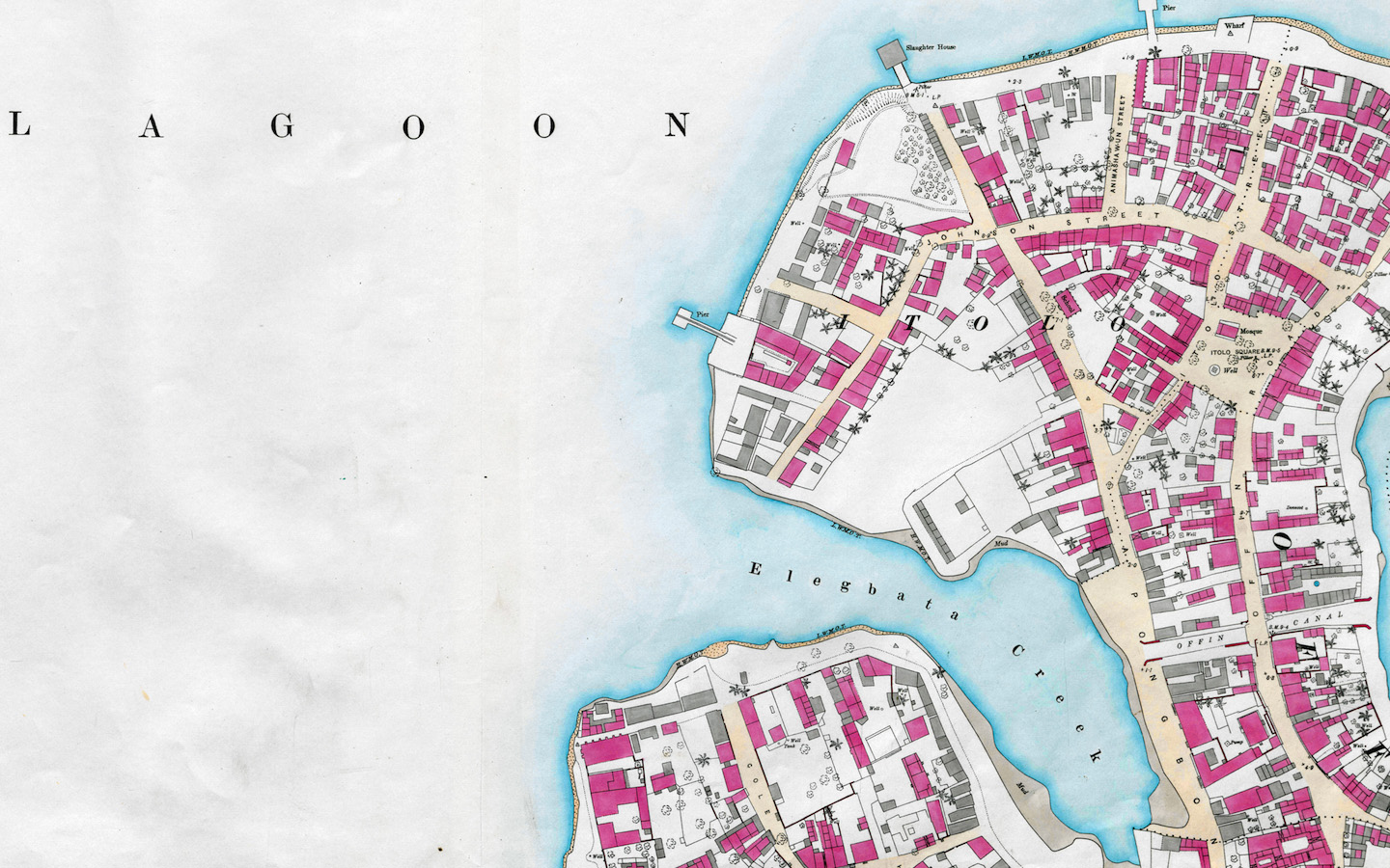
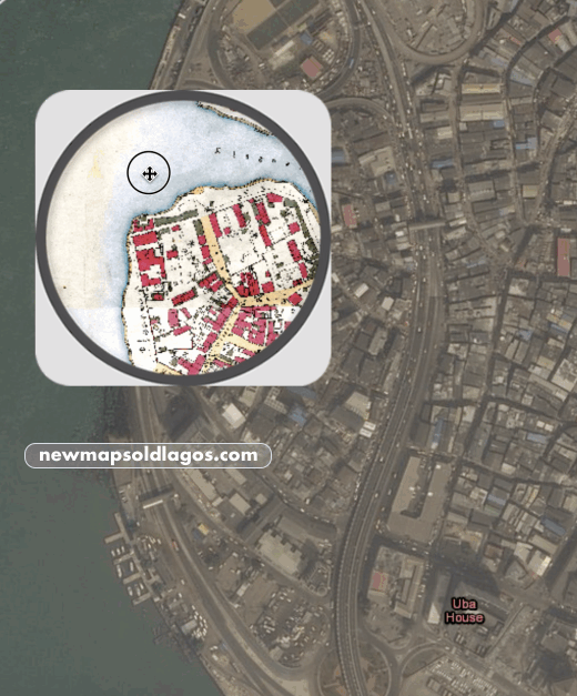
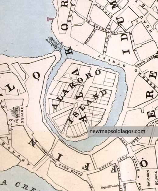
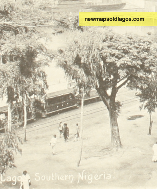
Welcome! This public history site focuses on history of Lagos, one map at a time. Start with the story of the SHORELINE, then dig deeper to ALAKORO ISLAND. Or did you know we had a TRAIN along the Marina? Or that the British Navy BOMBED LAGOS in 1851?
Come back for frequent updates. This site is run by Dr. Ademide Adelusi-Adeluyi, a historian of Lagos. Contact her via email